

Browse our diverse range of civil engineering services.
Home/Locations/Michigan / Farmington Hills / GIS & Surveying
GIS and Land Surveying in Farmington Hills, MI
Survey and Engineering Under One Roof
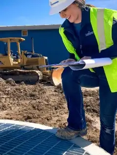
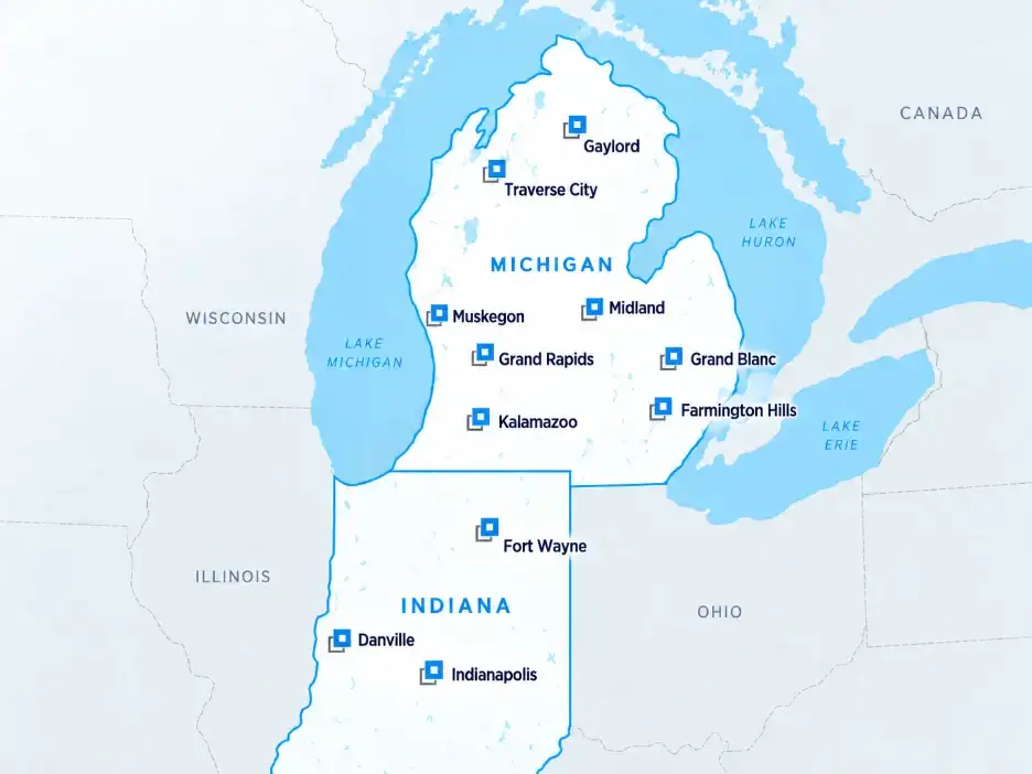
Fleis & VandenBrink (F&V) works in Oakland County and the western Detroit suburbs from our Farmington Hills office. Licensed surveyors handle right-of-way, boundary, and topographic work for road, utility, and public works projects, and the GIS team keeps the records up to date afterward.
WHAT WE DO
Surveys for Corridors, Parcels, and Public Projects
Built-out communities leave little margin for error. F&V establishes where the right-of-way ends, what sits inside it, and who is affected before a project goes to bid.
WHERE WE WORK
Serving Oakland County and the Western Suburbs
The Farmington Hills office has covered southeast Michigan since F&V expanded into the metro, with survey crews working the communities along the I-696, M-5, and I-275 corridors.
PAST PROJECTS
Explore Our Work


REVIEWS
Hear from Our Past Clients
★★★★★
You could not find a better group to work with than F&V! Their staff members are not only skilled in their field, but they are quality human beings. They are great at helping small communities find ways to fund projects and are easy to work with. I am proud of the many projects I have done with them in multiple communities!
LLisa Radtke
Google review · 7 years ago
★★★★★
I had an amazing experience with this firm as far as the professional handling of my business needs. I would highly recommend them if you had a Landscape Project to complete for a Municipality, City, Township or County.
AAnthony J D'Angelo
Google review · 2 years ago
★★★★★
They do excellent work, and their employees are courteous and professional.
BBrett LaBelle
Google review · 5 years ago
WHO WE SERVE
Survey and GIS Partners for Every Kind of Client
Municipalities
Cities, townships, and villages acquiring right-of-way, planning road and utility work, or maintaining an asset inventory.
Community Services
Road commissions, drain commissioners, and public works departments that need control, staking, and as-built records on every project.
Commercial Businesses
Property owners and operators needing boundary work, ALTA surveys, or site documentation.
Educational Institutions
School districts and universities mapping campus infrastructure and utilities.
Homeowners Associations
Neighborhood associations documenting common property, easements, and shared infrastructure.
Private Clients
Lenders, attorneys, and title companies who need a survey that meets national standards before a transaction closes.


FAQ
Frequently Asked Questions
Don't see your question? Our survey and GIS teams will walk through scope and schedule with you.
GET STARTED
Tell Us About Your Project
Reach out with the details, and a member of our team will follow up.



© 2026 Fleis & VandenBrink. All Rights Reserved. Built by Avalanche Creative.