Surveying and GIS for Capital Improvement Plans
Project Highlights
- $1.6M EGLE SAW-funded Asset Management Plan for wastewater and storm systems
- Condition assessment of 120+ miles of sewer and 3,700 structures
- Development of data-driven Capital Improvement Plan
- GIS-based integration of video, imagery, tabular, and geographic data
- Inclusion of floodplains, wetlands, and groundwater data in risk analysis
- Custom data tools supporting long-term AMP and CIP updates
- 2019 ACEC/M Surveying Honorable Award recipient
Project Summary
Asset Management Plans (AMP) are a critical tool for communities to identify needs, conditions, and prioritize the needs for each type of municipal infrastructure. A major component of the AMP is the development of a Capital Improvement Plan (CIP). CIPs help communities guide the overall budget development and execution of projects by prioritizing what needs to be done (repaired, replaced, or improved), when, and the cost associated with it. Because many CIPs are compiled with limited information, the options presented in terms of repairing, replacing, or developing other options are constrained.
The City of Albion was awarded a $1.6 million grant under the EGLE Storm and Wastewater (SAW) program to develop an AMP for the Wastewater Treatment Plant, Wastewater Collection System and the Storm Sewer System. Albion selected Fleis & VandenBrink (F&V) to assist them.
To create the comprehensive AMP and CIP, it was necessary to efficiently and accurately assess the condition of over 120 miles of storm and sanitary sewers, 3,700 structures, provide accurate locations of both, and evaluate the data to determine how likely and how critical the failure of a given asset would be. It required a way to compile and store the enormous amount of data in a manner that was easy to use and modify during the project and afterwards so that City staff can quickly and efficiently create and update their AMP and CIP.
The task to organize, evaluate, and map the data was daunting. The assessment for each item of the infrastructure could contain as many as 250 data points.
This required the F&V survey team to find new ways of gathering, storing, analyzing, and presenting the data. The survey team provided the engineering team a customized product of the collected and transformed technical data to complete their review of the condition of each asset accurately. This, in turn, provided the City leadership an AMP and CIP that is comprehensive, accurate, and easily understood.
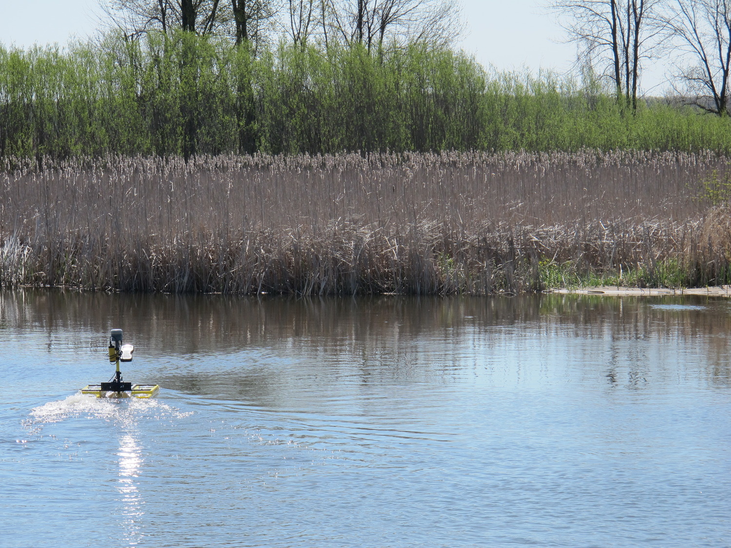
The most significant challenge in the process was in organizing the wide array and volume of data for which the survey team utilized the power of GIS. GIS allowed the wide variety of data types (video, pictures, tabular data, etc.) to be organized by geographical location and combined with geographical data such as flood hazard areas. GIS mapping was utilized as a quality control process to provide confirmation that F&V had located and assessed all structures.
Because of their broad understanding of the project intent, the survey team were champions of incorporating the enormous amounts of data collected from six teams in addition to incorporating non-traditional sources of data. For example, wetlands, natural water bodies, ground water elevation, and floodplains all impact underground infrastructure and were included.
This created a far more comprehensive AMP and CIP. In turn, this allows the City to make deliberate, well-thought-out, and accurate decisions about their infrastructure. Smarter decisions about where to spend the City’s limited funds creates safer, stronger, more sustainable, healthy, and prosperous communities.
This project was awarded an ACEC/M 2019 Surveying Honorable Award.

Tell Us About Your Project
Start a conversation with our design team. We’ll help you turn your vision into a buildable, fundable project.