Newsletter: Update your GIS for Best Decision Making

Community leaders in Michigan who have invested in a Geographical Information System (GIS) are now faced with the challenge of keeping them up to date or watching them become obsolete.
GIS, one of the best tools for community leaders for today’s challenges, is a technological system that leverages locational and tabular data, computer hardware, and software to gather, map, and analyze geographically referenced data. GIS allows users to organize, visualize, and analyze vast amounts of data together by creating maps and charts.
Community leaders are still learning the important role this technology plays in integrating different kinds of information. However, without proper maintenance, the information in the GIS will slowly become outdated and may lead to making incorrect conclusions.
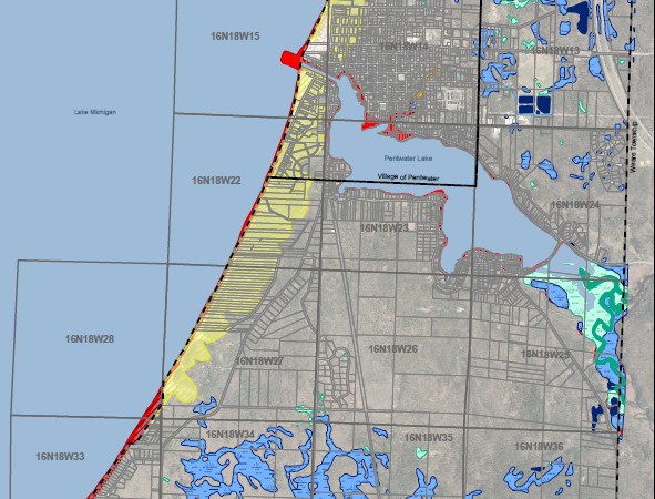
Fleis & VandenBrink (F&V) assisted both Pentwater Township and the Village of Pentwater in updating its land use Master Plan. Each community had an ArcGIS Online account, which F&V maintains, so community leaders can view and interact with web maps.
Read the full newsletter.
