Preserving the Past: Cemetery GIS Integration
Project Highlights
- Digitization of 600+ pages of historic cemetery deeds, certificates, and maps
- Survey and GIS reconstruction of over 6,000 cemetery plots
- Drone imagery captured at 1-centimeter resolution for spatial accuracy
- Integration of survey data, headstone records, and historical research
- Development of an interactive web map using ESRI Field Maps
- Centralized GIS system for long-term cemetery record management
- 2026 ACEC/M Surveying Honorable Conceptor Award winner
Project Summary
Cedar Creek Township suffered a devastating fire that resulted in the loss of many important records and documents, including approximately one-third of the Township’s cemetery files. The remaining records, having been managed by various individuals over more than 150 years, each with their own methods of organizing information, were often inconsistent, incomplete, and difficult to interpret. This made it challenging and time-consuming for staff to determine ownership and identify available plots. The process often felt like chasing shadows through a graveyard.
To assist the Township, F&V’s Senior GIS Technician, Sam Lipscomb, led the effort to turn confusion into clarity by acquiring new data to complete and complement the surviving records.
The project began with digitizing and organizing Cedar Creek Township’s surviving cemetery records which consisted of over 600 pages of cemetery deeds, death certificates, and maps. Using the historical maps, the survey team located lot markers across the cemetery to accurately recreate the cemetery lots in the GIS. While metal markers in the newer sections were easy to find, older sections with buried concrete markers posed a challenge. However, once a few markers were uncovered, F&V was able to establish a grid to help locate the rest more efficiently.
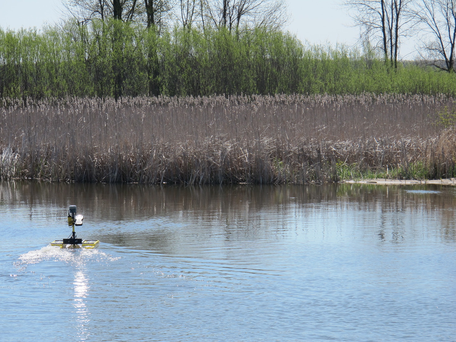
A drone flight was conducted to produce high-resolution imagery with a 1-centimeter resolution. This imagery, combined with survey data and dimensions on the existing maps, was used to develop lot and space layers in the GIS, which were uploaded to ESRI’s Field Maps app. Fieldwork followed, during which visible headstone data, such as names, birth and death years, and photographs, were collected and added to the GIS.
Since only above-ground information could be mapped, F&V also conducted historical research to fill in gaps. A visit to the Wexford Genealogy Organization was made to review additional records and integrate undocumented burials where headstones were missing or damaged. The database was then carefully analyzed, with each space being reviewed to determine confirmed and likely burials.
Ultimately, GIS brought all the spatial, visual, and historical pieces together into a centralized, accessible system that restored clarity to the cemetery’s records.
The final product was an interactive web map that the Township now uses to manage and maintain records for over 6,000 cemetery plots. What was once a confusing and incomplete paper trail has become a clear, reliable system, offering information for families visiting loved ones or purchasing future plots. A place where everyone can, truly, rest in peace.
What made this project truly unique was the comprehensive approach, collecting data for the entire cemetery and then supplementing it with the Township’s existing records and additional historical research. The challenge wasn’t just in gathering new information, but in carefully aligning it with what remained of the original records to create a complete and accurate picture of Fairview Cemetery.
By layering multiple surveying techniques, the team created a lasting solution that serves both the Township and the families connected to Fairview Cemetery—past, present, and future.
AWARDS
- 2026 ACEC/M Surveying Honorable Conceptor Award

Tell Us About Your Project
Start a conversation with our design team. We’ll help you turn your vision into a buildable, fundable project.