Hear from Our Past Clients

What We Do
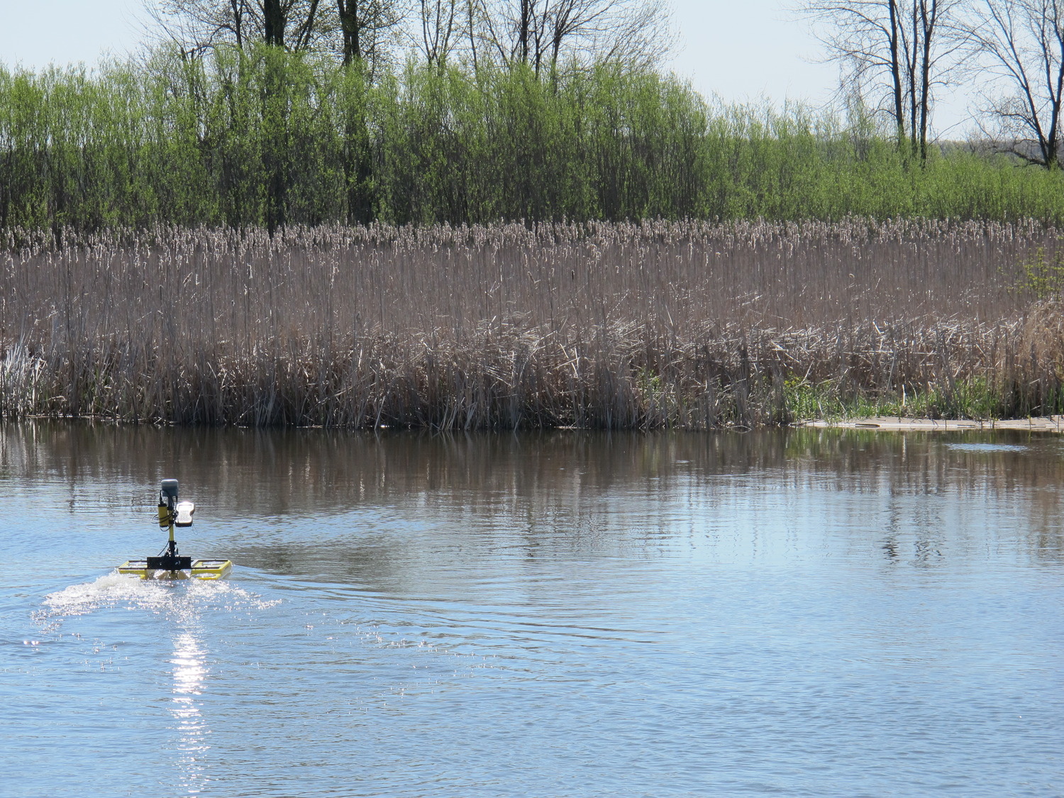
Surveying establishes the physical and legal framework for infrastructure, property, and development decisions. F&V surveyors collect, analyze, and document site conditions to keep projects on track.
Surveyor services may include:
- Boundary and land surveys
- Topographic surveys
- Construction staking
- As-built surveys
- Right-of-way and easement surveys
- ALTA/NSPS land title surveys
- Control surveys and GPS control networks
Define property boundaries using record research, field measurements, and monumentation to support acquisitions, development, and dispute resolution.
Where We Work
Let’s Get Surveying!
Need survey data to support planning, design, or construction? Fleis & VandenBrink can help you determine the right survey approach for your project and timeline.
Who We Serve
Municipalities
Support public works, engineering, and planning departments with boundary, topographic, and construction-related surveys.
Community Services
Provide survey data for public facilities, infrastructure upgrades, and community-focused projects.
Commercial Businesses
Deliver surveys that support site development, property transactions, and facility improvements.
Educational Institutions
Assist schools and universities with campus surveys, boundary clarification, and construction support.
Homeowners Associations
Document shared property boundaries, easements, and infrastructure for maintenance and planning purposes.
Private Clients
Provide professional surveying services for property-related needs that require licensed survey work.


Frequently Asked Questions
Surveying measures and documents physical locations, boundaries, and elevations with legal and engineering accuracy. GIS manages spatial data and records over time. Surveying often feeds data into GIS, but they serve different purposes.
